Ken's Journal
No. 4 - Summer 2004

Capitol Reef National Park - Torrey, Utah - 07/17 - 07/21/2004
Days 21-25 on the road. Part II.

 
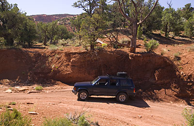
  Not strongly advertised by the Park Service but on the maps nonetheless, is a road called South Draw near the end of the improved Scenic Drive. South Draw goes generally south for a while, then turns abruptly west to leave Capitol Reef for the Dixie National Forest. If you ask about road conditions at the Capitol Reef Visitor Center, they'll tell you the road may be impassable in places as it hasn't been graded (what they call rough bladed) in the past year. This trail is only 12 miles long, but it took some three hours to negotiate. They were almost right - In some places there was no road or no indications a road ever existed - I followed what appeared to be a washed out streambed - uphill, downhill, through sand washes. This was the roughest "road" I'd ever been on. In places, each boulder had to be considered and negotiated. This was taking lots more time than I'd anticipated! About half-way through and with the normal afternoon storms rapidly approaching, my hope was that I could reach high ground before the inevitable storm hit. I lucked out. I was at the highest elevation when a serious thunderstorm attacked. The downpour  was so heavy, I had to stop because I couldn't see out the windshield with the wipers on high! Even on high ground, the rain came down so hard it couldn't run off fast enough and 6 inches accumulated under the Jeep - and it was still raining!! The 6 inches was maintained by the storm for the next 15 minutes or so and finally drained off when the tail end of the storm passed overhead.  I eventually made it out to SR12 some 17 miles south of Torrey.


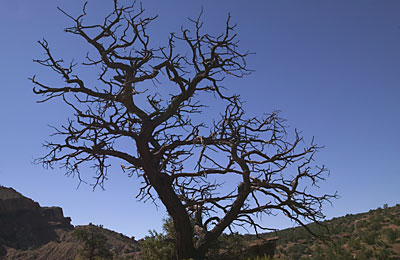
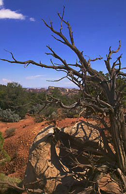
If you hadn't noticed yet, I have a thing for dead trees. Somehow, I think they are artistic -- anyhow, here's one along South Draw.

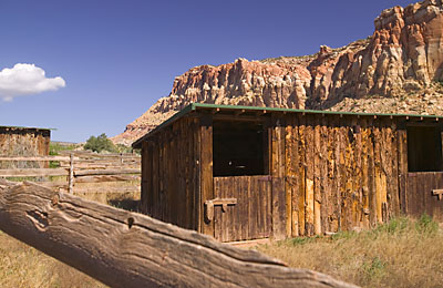
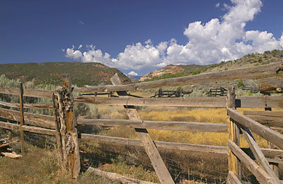
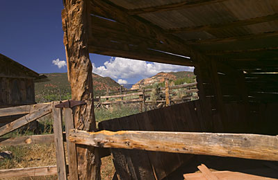
  Still in Capitol Reef is a gathering place for local cattle who free-range parts of the park. Sometime in the fall, cowboys will come in to herd all the cattle to this place, load them on trucks and either take them to market or wintering pastures.


A shot of the cattle pens.

 
Another shot of the buildings.


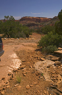
 Further along, some of the features start to get a little bizarre. A piece of eroded sandstone marks a corner of a still reasonably smooth trail.

  A lot of the trail is in low-lying washes that fill with water when it storms. You wouldn't want to be here when it rains.


Where I'm going - uphill with a lot of washouts.


Where I've been - totally washed out. This has been washed out to the natural surface of sandstone and shale.


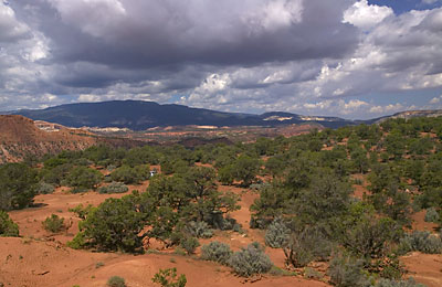
To the west, where I'm going, the storm clouds are starting to gather. Just after this point, you go down a steep decline and exit Capitol Reef.


Told you you'd see more dead trees! I think they are artistic and scenic!

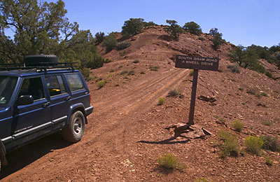
  Just out of Capitol Reef. The sign says, "South Draw Road, 4 Wheel Drive." A dead-on statement there! After descending this little hill, you cross a large meadow on a smooth clay road (impassable when wet), drop into a wet draw, Maverick Draw, and cross a stream before ascending a steep clay hill where the trail again turns into washed out boulders.
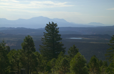
  The next day I was on SR12 heading south and stopped at a scenic overlook for this shot. Yesterday's trail started somewhere this side of the furthest mountain range and crossed the range in the middle. After that the trail meandered through the large meadow, Tantalus Flats, before ascending to the level of the lake, Lower Browns Reservoir, you can see in the middle of the picture. Just before the lake is where the storm hit.
 

Next up - Part III


Page 15

  Previous Page

Next Page


To The Journal Index |  To The Summer 2004 Index | To kenbeard.com