Ken's Journal
No. 4 - Summer 2004
Capitol Reef National Park - Torrey, Utah - 07/17 - 07/21/2004
Days 21-25 on the road. Part I.
Capitol Reef is in what's called the Waterpocket Fold. The Waterpocket Fold is a giant wrinkle in the Earth's crust that stretches for 100 miles across south-central Utah. Within Capitol Reef is one of the earliest Mormon settlements, Fruita, established along the Fremont River in the late 1800s. After Capitol Reef National Monument (now Park) was set aside in 1937, the Mormon farmers and their families gradually moved away. The Park Service has no explanation for this migration. Among the artifacts the Mormons left are a number of fruit orchards now maintained by the Park Service. You can pick and eat fruit free of charge while there, but there is a minimal fee for any fruit you take with you.
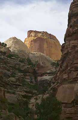
The general public can see the main features of Capitol Reef along a 25 mile round-trip paved Scenic Drive. Unlike Bryce where you drive along the rim of the canyon and look down, at Capitol Reef you drive at the bottom of the canyons and look up! Capitol Reef is some 69 miles long north to south, 13 miles wide at it's widest and only 2 miles wide at the narrowest. The Scenic Drive runs north to south so obviously at 12 mile long, covers very little of the park. Although there are many hiking trails in Capitol Reef, most of the good ones are in the strenuous category and are in areas where hiking by yourself is not a good thing to do. Besides, I was in the mood for driving, not hiking.
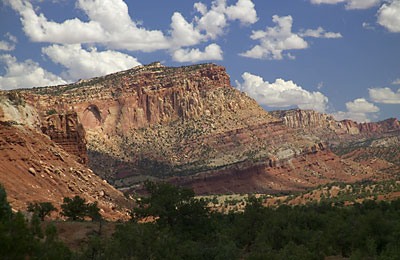
The Capitol Reef Scenic Drive starts at the Visitor Center, 11 miles east of Torrey on Utah SR24. But even just on SR24, the scenery is spectacular!
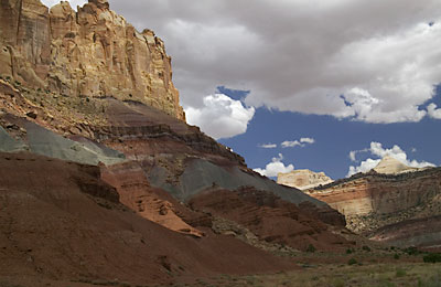
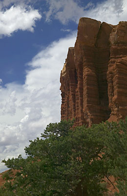
This is called the Castle and is right along SR24 inside the park but before you reach the visitor's center..
