Ken's Journal Seen On the Road in Alaska -- Hatcher Pass and Around Denali. |
The Little Susitna River - on the road to Hatcher Pass - which was still closed because of glaciation over the winter. This stream is carrying glacial melt from several glaciers - primarily the Mint and the Snowbird glaciers in the mountains north of Anchorage. Supposed to be great trout and grayling fishing - perhaps I'll try it later! |
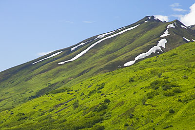
Shot out the window - an unnamed hill on the way to Hatcher Pass. The road is called the Fishhook-Willow Road and winds east to west north of Houston, Wasilla and Palmer. This is a great 40 mile road, mostly dirt and well graded - unfortunately, the pass was not expected to be opened until mid-July. Perhaps I'll pass by this way later this summer. Here, we're above the tree-line in the transition to alpine tundra. The snow should be gone by the end of July or so. |
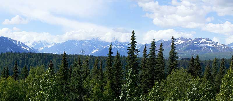
A panorama of the mountain group dominated by Denali (Mt McKinley). Unfortunately, Denali is hiding in the clouds. Locals say that only one in three tourists actually see Denali on their vacation - the mountain spends most of it's time in hiding. This shot was from an overlook on the Geo W Parks highway - the Denali North View and Campground in the Denali State Park. This is a large rest area with parking for large RVs and campers - no electric, water or sewer. I was back by this way two weeks after this was taken and the cloud cover was worse. I parked the motorhome so this was the view out the front window hoping that the clouds would clear by morning - didn't happen. Perhaps later in the summer I'll try again! |
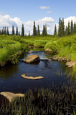
On the Petersville Road - one of the many streams trying to drain the muskeg - imagine an area where the water table is only down a half inch from the surface of the soil !! |
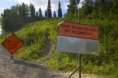
Also on the Petersville Road. This is a 30 mile, dead-end dirt road that leads west and north from Trapper Creek on the Parks Highway. Originally it was built as a mining road and today is popular with 4-wheelers and snow machines. It's also used as a jumping off point for hikes into the Denali back-country. Here, not only was the left lane closed, it had slid a couple hundred feet down the hill-side. |
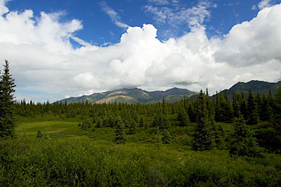
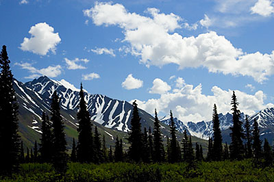
Inside Denali National Park. I was in for the day just to explore along the first few miles of the park road - see below. This landscape is called tiaga - just below the tree-line - the trees are sparse and stunted. |
More scenery inside Denali National Park. |
| The Denali Park Road is some 92 miles long, but only the first 14 miles is freely accessible to the public. Access to the rest of the road is strictly controlled. You can take your RV to one of the 5 Campgrounds in the park - you must stay three nights and there is no water, electric or sewer - you must be self-sufficient and once parked in a site, you can't move until you are on your way out. You can also take one of the park shuttle buses into the park - at a cost of course. You can get off anywhere you wish, but you may have a few buses pass you by if you then want to go deeper into the park. The round-trip, beginning to end, takes some 11 hours with no stops - plan your trip to this National Park well. I'll be back later this summer for a more extensive visit and hope to score a few days in one of the campgrounds deep inside the park - along with a pass for the shuttle bus system. | |
Page 10 |

