Ken's Journal Mackinaw City, Mackinac Island, St Ignace, Michigan |
So here I am on the road again! This time the destination is Alaska - everywhere in Alaska! I left home on June 1 heading for the vicinity of Toledo OH for the first night. Then on to St Ignace MI, just north of the Mackinac Bridge and Mackinaw City MI. Mackinac, Mackinaw, it's all pronounced the same - mac-in-aw. Pronounce it mac-in-ac, and they'll know you're not a local. |
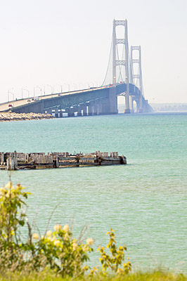
The Mackinac Bridge from the north side. Some 33 foundations resting on beadrock support the 4-mile long steel structure. The two tower foundations decend 200 feet below the surface of the water. The bridge was formally dedicated in 1957. Even though it was sunny this day, there was a lot of haze over the water. |
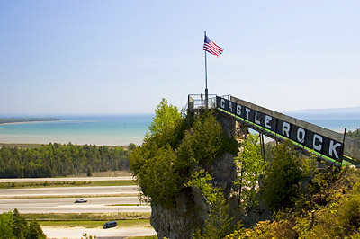
Castle Rock - just as the sign says. This is the highest point of land in the area of St Ignace. If you want to climb the side of the hill to get to this point, it'll cost you 50¢ and you'll have to make your way though a tourist trap full of cheap, tacky tourist souvenirs. |
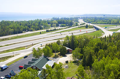
The view from Castle Rock. At one time, it must have been quite a view. Today, your view is dominated by an Interstate Interchange. My Jeep is in the lower left corner of this picture some 200 feet below me. |
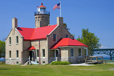
The Mackinaw Point Lighthouse, restored as a museum. Admission is $5 for an escorted tour. This is in Mackinaw City on the south side of the Mackinac Bridge. Adjacent is the entrance to colonial Michilimackinac, a fort first established on the site in 1715 by French Voyageurs - now restored. |
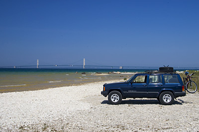
On the shores of Lake Michigan with the Mackinac Bridge in the background. |
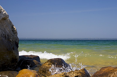
Again, on the shores of Lake Michigan. I can assure you the water is cold this time of year! |
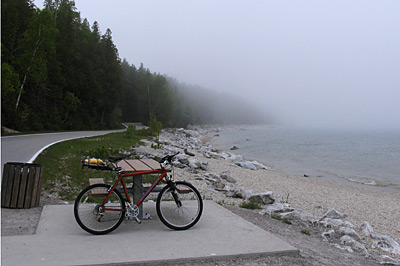
Mackinaw Island. This island is located a 30 minute ferry ride off the Straits of Lake Michigan into Lake Huron. Mackinac Island is a vacation community - mostly for the rich who keep period vacation homes here. All motor vehicles are banned from the island so the only modes of transportation are foot, bicycle and horse-drawn carriage. Here, I'm half-way around the 8 mile perimeter of the island with my bike. As you can see, the weather was less than ideal with heavy fog, mist and chill all day long - just my luck - the day before was beautiful! The round-trip ferry ride was $20 plus $5 for my bike. |
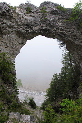
Arch Rock on the east side of the island. You can see the perimeter road just in the bottom of the arch. We're about 200 feet above the road at this point. |
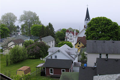
A view of the main settlement from near Fort Mackinac, a restored fort that once guarded the harbor. |
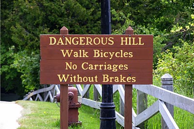
Some of the hills on the island are serious inclines. This one was not particularly long, maybe a couple hundred yards, but pedaling up it certainly got my heart rate up! I would ride down very carefully! |
Page 1 |
