Ken's Journal
No. 4 - Summer 2004
Cedar City, Iowa - 07/08 - 07/13/2004
Days 12-17 on the road. Part III.
So, anyhow; on my trips up and down SR14, I managed a few pictures and side trips to Cedar Breaks and through a relatively un-traveled part of Zion.

A view on the way up SR14. This pops into view just after a sharp curve.
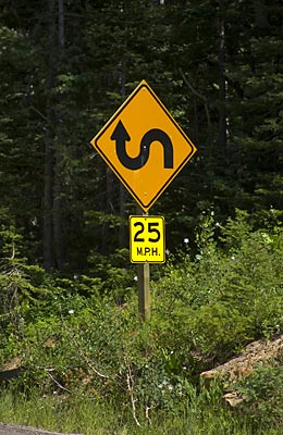
Yes, the road actually does this!!

Another view from SR14.
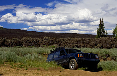
This is a lava flow right off SR14. I'm on an un-maintained back-road around the flow. Here I'm coming back after finding the road deteriorated more than I was comfortable with. After I managed to cross a dry stream-bed, the boulders got just a little to large for me.
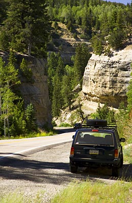
. . . Going down into the narrows on SR14.
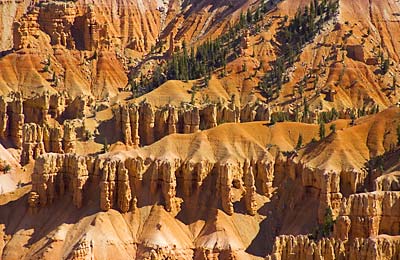
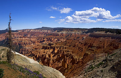
Cedar Breaks NM is relatively unknown but has features similar to Bryce Canyon, but on a smaller scale. Access is easy. Take SR14 East out of Cedar City, turn left on SR143 in 18 miles. The visitor center is on your left in 4 miles.
Along five miles of SR143 are all the parks attractions - trailheads, overlooks and the visitor center. The park is open from early June through mid-October - winter weather starts in October and can be brutal at 10,000 feet!!
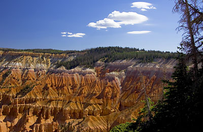
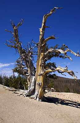 One feature of Spectra Point is a grove of Bristlecone Pines - the oldest living organisms in the world. This particular specimen is estimated to be 1600 years old! Other specimens have been found in other southwestern states that are estimated to be 4500 years old!